SURVEYS
Hydrographic, Topographic, & Underwater Imaging
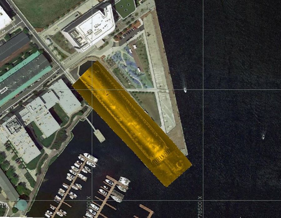
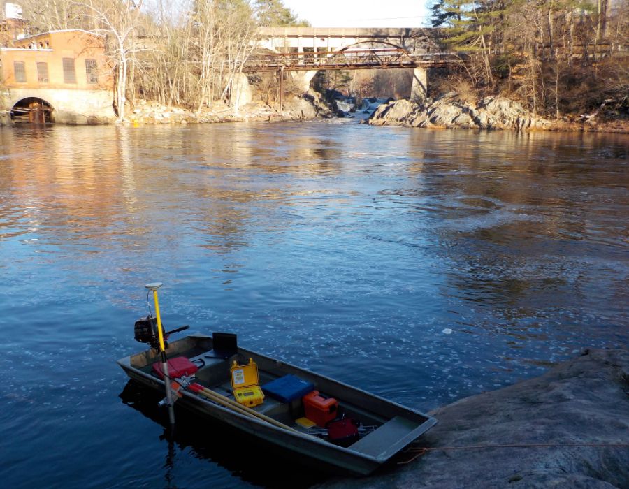
At Childs Engineering, we provide precise and reliable survey services using our in-house crew and state-of-the-art equipment. Our team conducts hydrographic, scanning, and topographic surveys worldwide, utilizing both large and small vessels or deploying portable equipment to remote locations.
While most of our surveys support waterfront design, permitting, and dredging projects, Childs Engineering is equipped to handle diverse survey requirements, ensuring precise data collection and analysis for every project.
Specializations
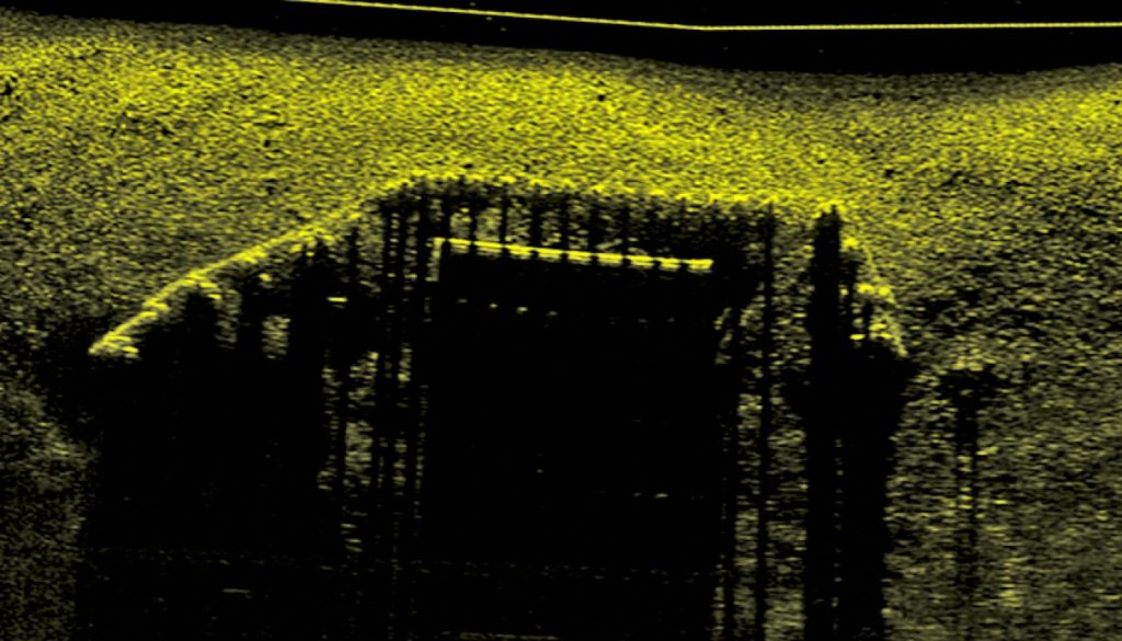
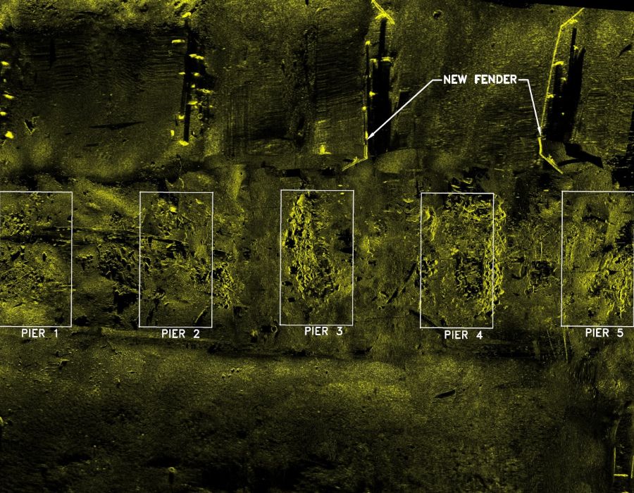
Sonar Imaging & Side Scan
Capturing high-resolution underwater imagery to assess structural conditions and seabed features.
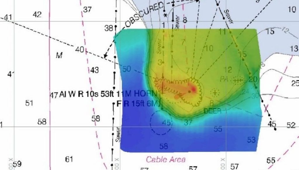
Hydrographic
Mapping water depths and underwater topography for navigation, dredging, and infrastructure planning.
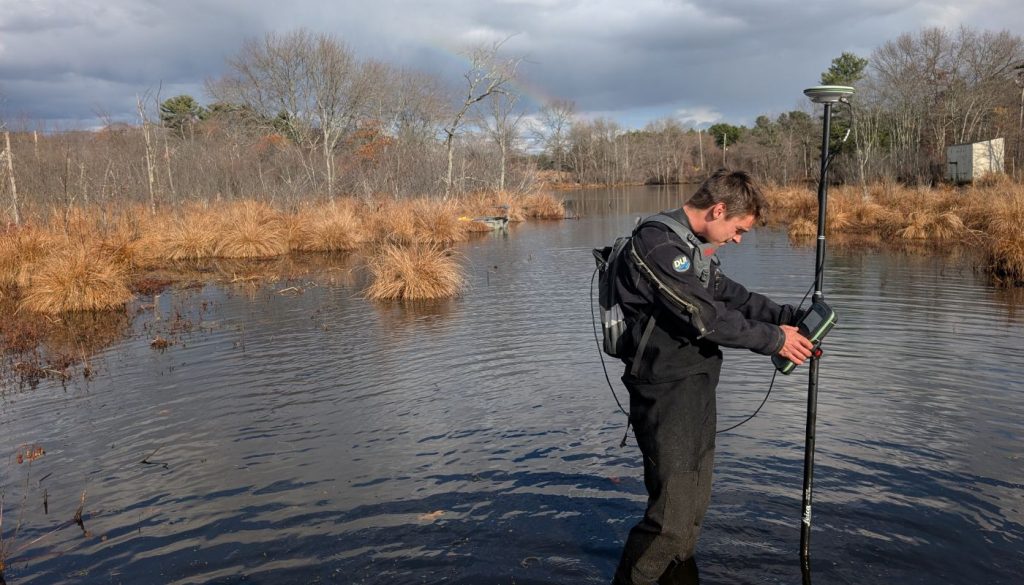
Topographic
Documenting land elevations and shoreline features to support design and permitting.
