Projects
Margate Back Bay Bathymetric Survey
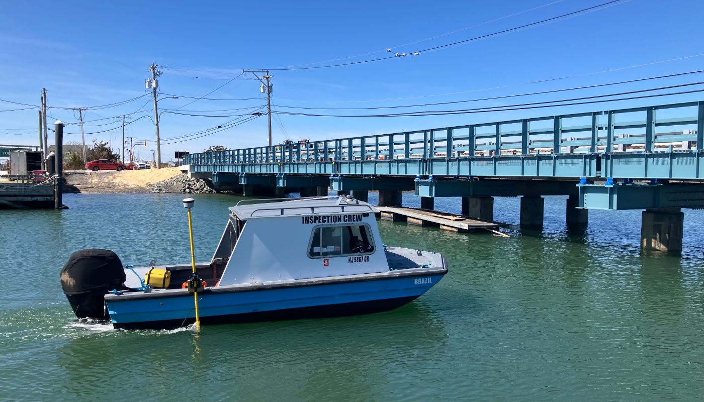
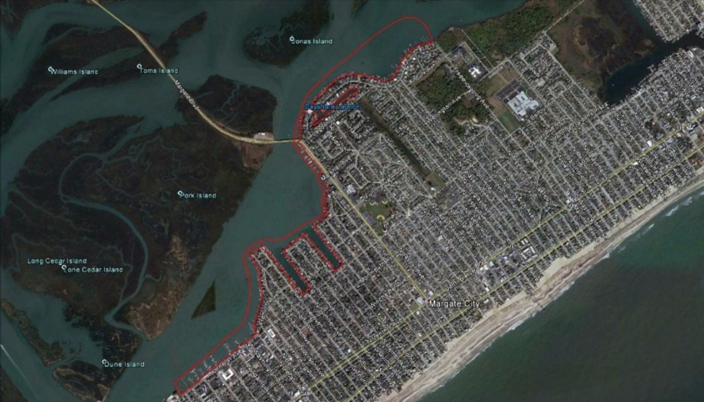
Childs Engineering performed a detailed bathymetric survey in support of the Margate Back Bay dredging project, covering approximately 3.5 million square feet of tidal waterways. Using a single beam transducer and Trimble GPS mounted on an 18-foot work boat, data was collected over six days, including accessible slips and marinas.
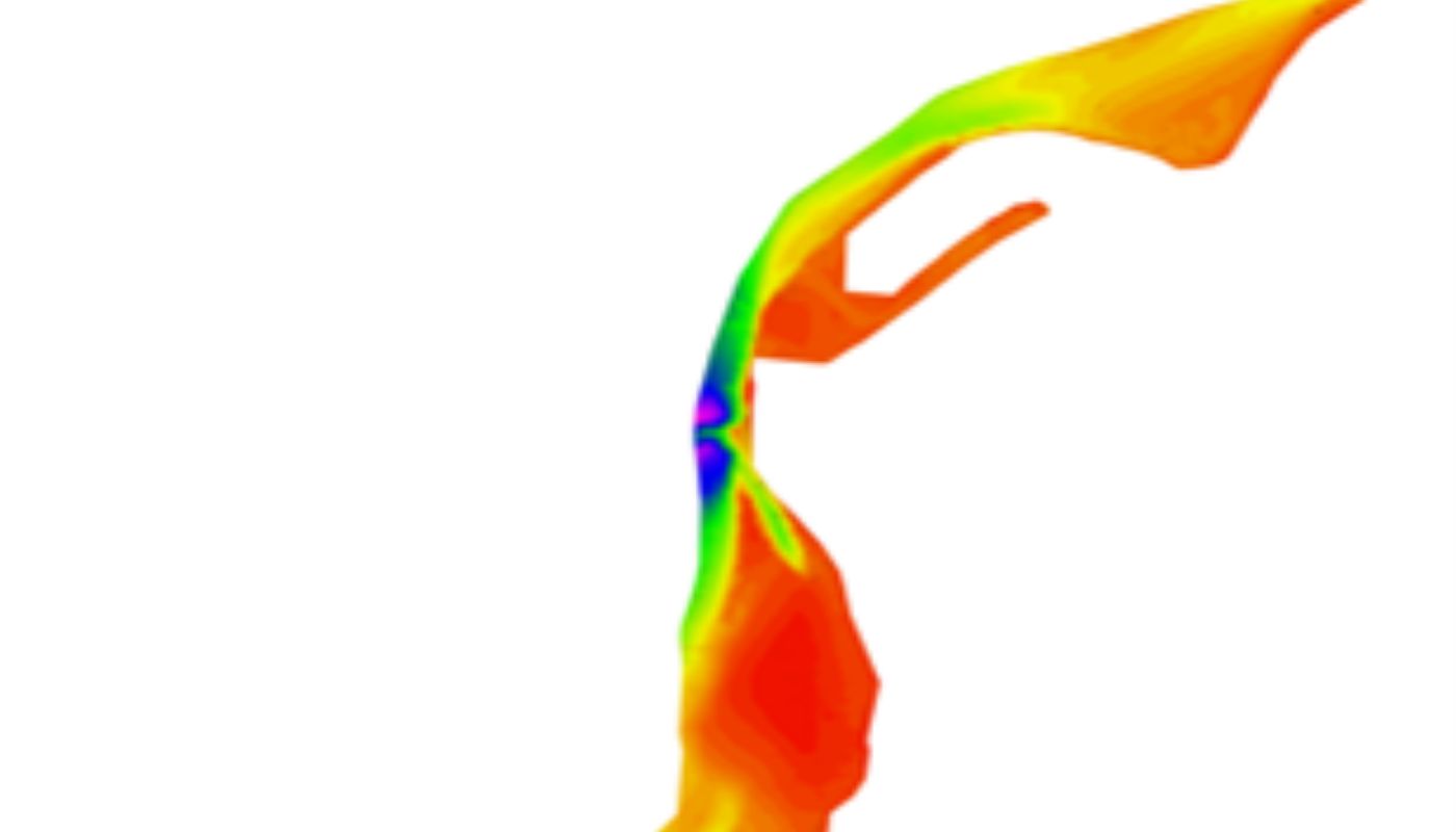
A real-time tide gauge was deployed to capture local tidal conditions, with post-processed corrections applied to produce an accurate NAVD88 survey. The project was also tied into the NAD83 and New Jersey State Plane coordinate system. Final 3D data was delivered in XYZ point format and Bentley OpenRoads, using Hypack survey software.
Technical Scope
- Bathymetric Survey
- Baseline data for the Dredge Project
- GPS/GNSS autonomous survey
- Hypack Survey data processing
- NAVD88/NAD83 datum
- 3D modeling in Bentley OpenRoads


